
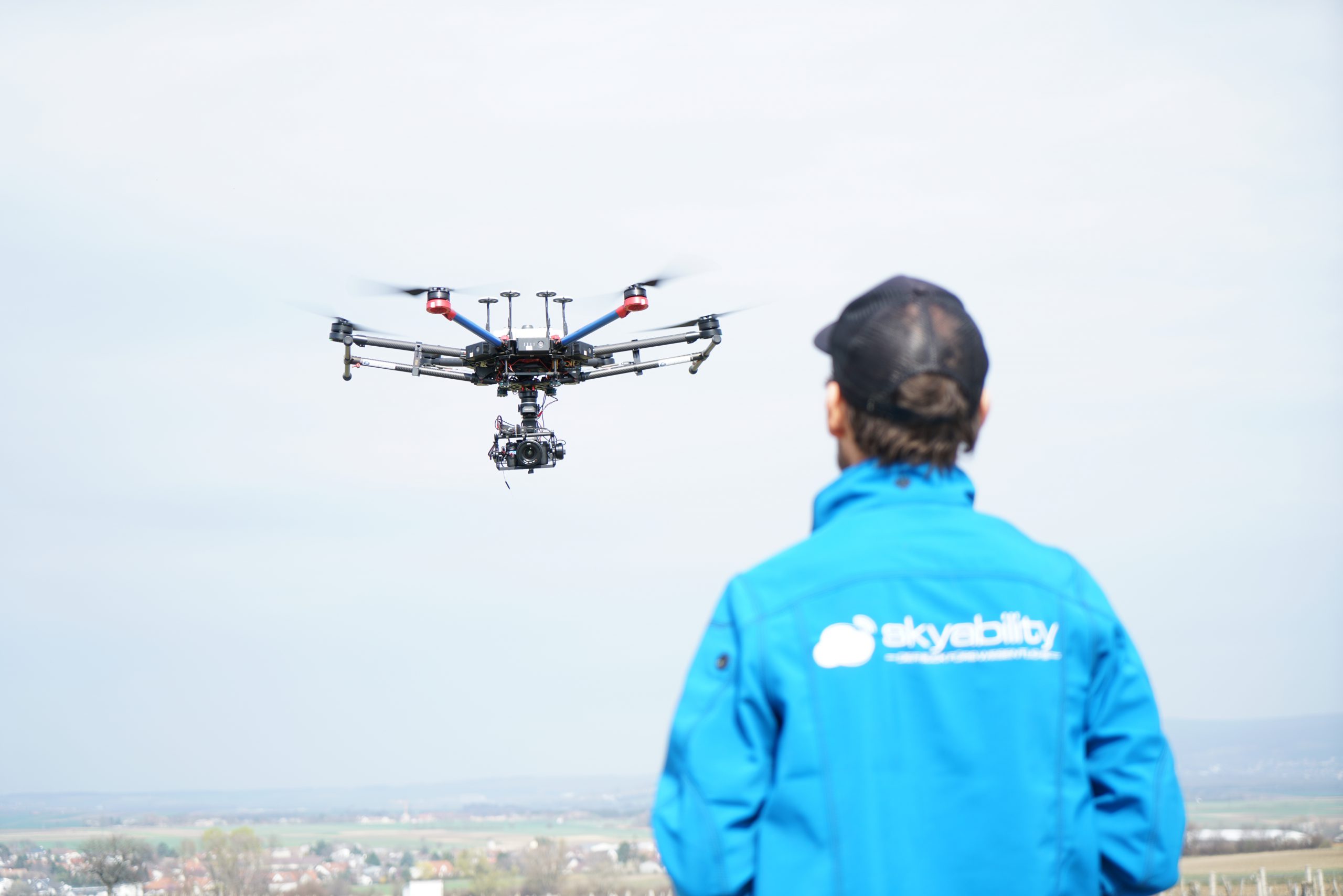
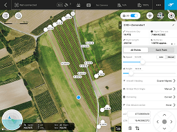
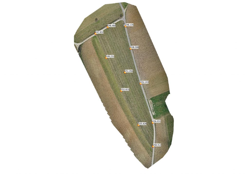
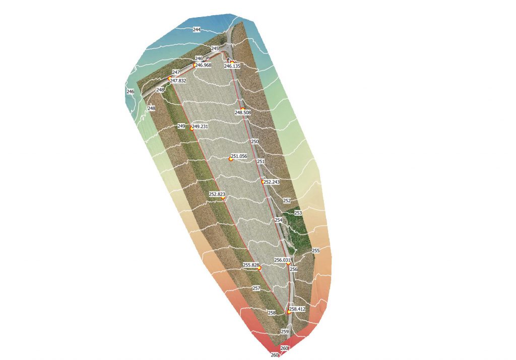
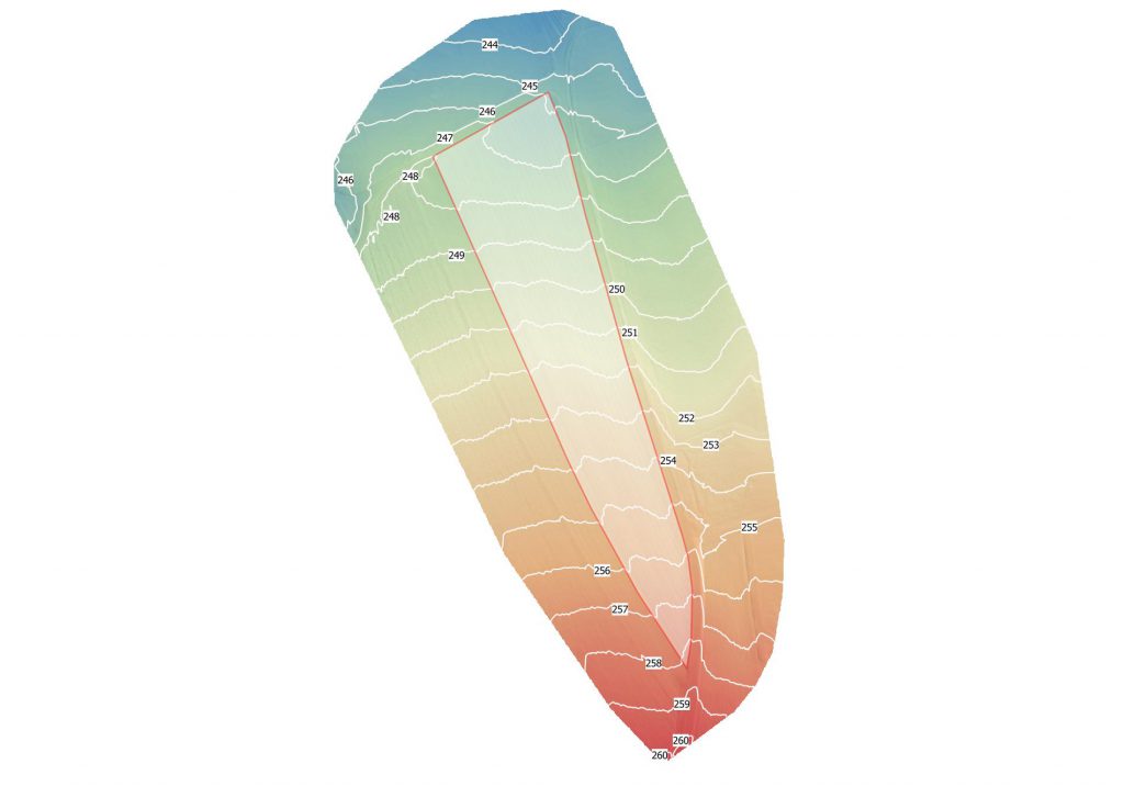
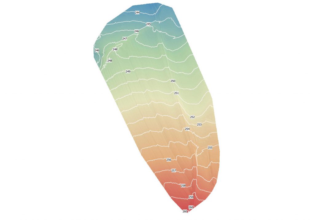
A Droneflight to gather a DEM (Digital Elevation Model) of the Test facility in Zemendorf was performed. The Data was processed afterwards to obtain detailed elevation information to plan the location of stationary sensors precisely. Furthermore the elevation data will be used to adopt the flight plan of the drone to get a constant Ground Sampling Distance (GSD) for further actions like Multispectral Data collection.
Latest News
- RSA talk “Secure and Flexible Precision Farming – with Drones” at DEEPSEC2022 21/11/2022
- UWB team presented DronePort at The International Engineering Fair (MSV2022) 10/10/2022
- UWB team presented DronePort at the Researchers’ Night event at the premises of the Faculty of Applied Sciences, University of West Bohemia 01/10/2022
- UWB team presented DronePort at 3. Campusforum Mensch-Roboter 01/10/2022
- CPS Summer School 2022 25/09/2022
Categories
- Agriculture (4)
- Construction (1)
- Logistics (1)
- News (85)
- Transport (1)
- Use Cases (5)